File:Figure 2.3.9—A screenshot of the Forest Service watershed condition and prioritization interactive map for portions of Idaho, Montana, Oregon, and Washington..png
Jump to navigation
Jump to search
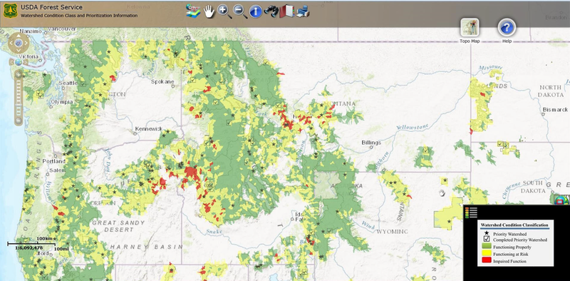
Size of this preview: 800 × 394 pixels. Other resolution: 1,910 × 941 pixels.
Original file (1,910 × 941 pixels, file size: 2.18 MB, MIME type: image/png)
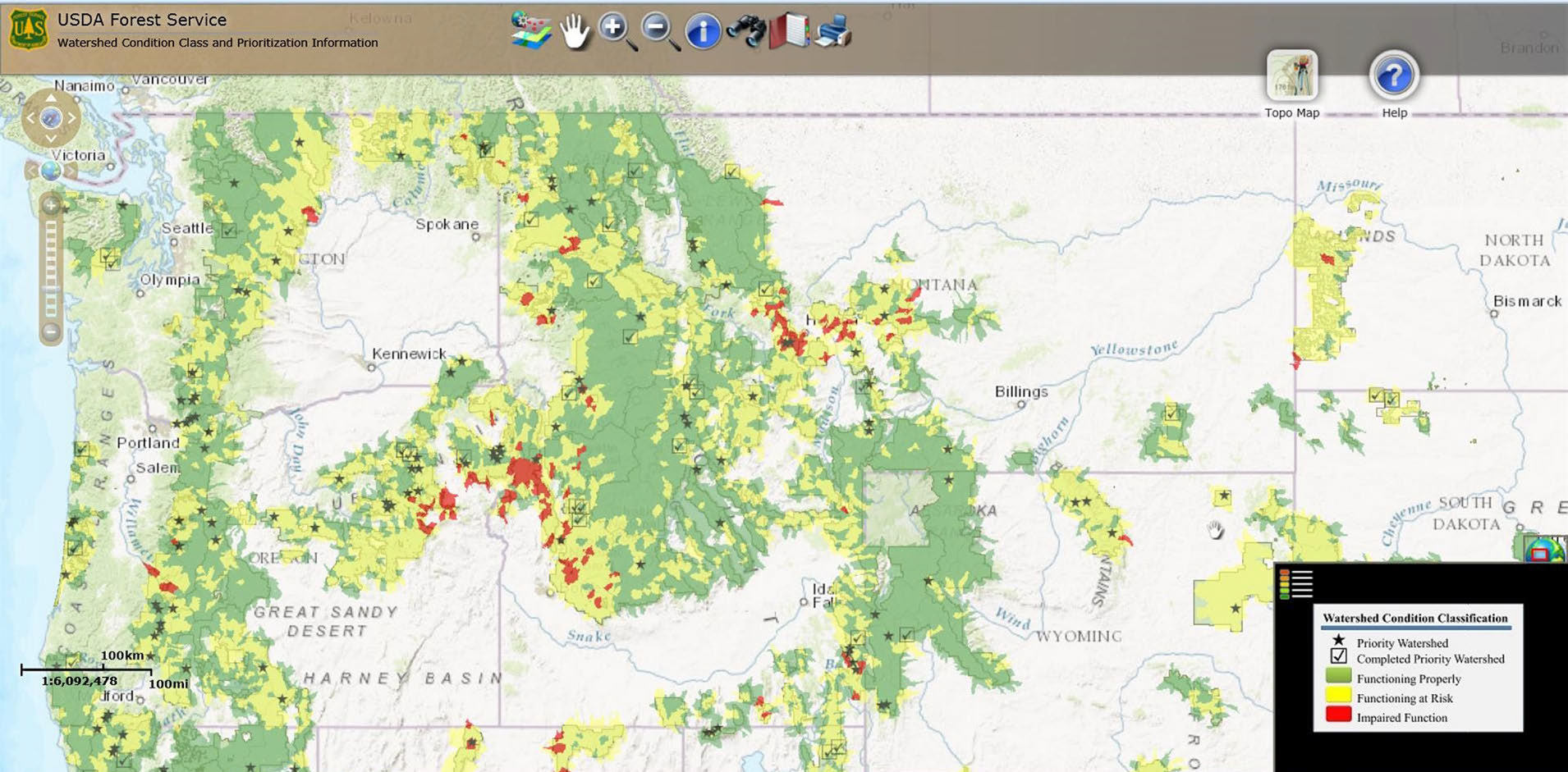
Figure 2.3.9—A screenshot of the Forest Service watershed condition and prioritization interactive map for portions of Idaho, Montana, Oregon, and Washington.
File history
Click on a date/time to view the file as it appeared at that time.
| Date/Time | Thumbnail | Dimensions | User | Comment | |
|---|---|---|---|---|---|
| current | 21:55, 2 March 2023 | | 1,910 × 941 (2.18 MB) | Admin (talk | contribs) |
You cannot overwrite this file.
File usage
The following page uses this file: